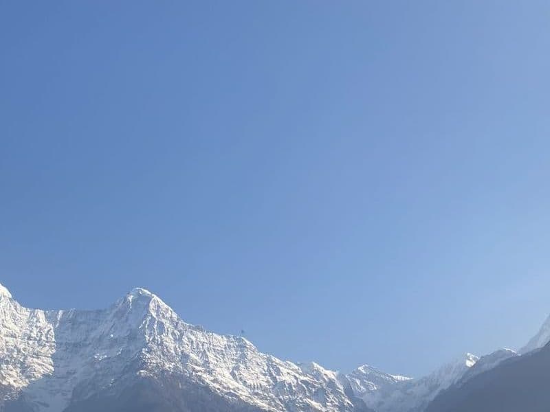
Manaslu Circuit Trek
A quieter rival to the Annapurna Circuit around the world’s eighth-highest mountain, over the Larkya La.
- Duration
- 14 days
- Max altitude
- 5,106 m
- Distance
- 177 km
- Best season
- October–November, March–May
- Starts
- Machha Khola
- Ends
- Dharapani
Overview
The Manaslu Circuit follows the Budhi Gandaki gorge from subtropical farmland to the Tibetan-Buddhist villages of Nubri, then crosses the Larkya La (5,106 m) to join the Annapurna Circuit at Dharapani. It offers everything the Annapurna Circuit once did before the road, with far fewer trekkers, because it sits in a restricted area that requires a registered guide and a minimum of two trekkers.
The standard fourteen-day itinerary includes an acclimatisation day at Samagaon, with the side trip to Pungyen monastery or Manaslu Base Camp, and a short day to Samdo before the pass.
- Budhi Gandaki gorge
- Lho and Samagaon villages
- Pungyen monastery
- Birendra Lake
- Larkya La (5,106 m)
- Bimthang
Plan this trek
Day-by-day itinerary
Sleeping altitude goes from 870 m on day 1 to a high of 4,460 m on day 9, ending at 1,400 m on day 13. Day 7 sleeps at the same altitude as the night before (acclimatisation).
- 1
Drive Kathmandu to Machha Khola
A long day by jeep (8–10 hours) via Arughat.
Sleep at 870 m
- 2
Machha Khola to Jagat
Hot springs at Tatopani; the restricted area begins at Jagat.
Sleep at 1,340 m
- 3
Jagat to Deng
The gorge narrows; suspension bridges and waterfalls.
Sleep at 1,860 m
- 4
Deng to Namrung
Into Nubri; the first mani walls and chortens.
Sleep at 2,630 m
- 5
Namrung to Lho
First big views of Manaslu from the monastery at Lho.
Sleep at 3,180 m
- 6
Lho to Samagaon
A short day under the Manaslu north face.
Sleep at 3,530 m
- 7
Acclimatisation at Samagaon
Walk to Birendra Lake and Pungyen monastery, or towards Manaslu Base Camp.
Sleep at 3,530 m
- 8
Samagaon to Samdo
The last village before the pass, close to the Tibetan border.
Sleep at 3,860 m
- 9
Samdo to Dharamsala (Larkya Phedi)
A short climb to the lodges below the pass.
Sleep at 4,460 m
- 10
Dharamsala over the Larkya La to Bimthang
Start before dawn; 8–10 hours over the pass and a long descent.
Sleep at 3,720 m
- 11
Bimthang to Tilije
Down through rhododendron forest to the Marsyangdi valley.
Sleep at 2,300 m
- 12
Tilije to Dharapani, drive to Besisahar
Join the Annapurna Circuit road.
Sleep at 760 m
- 13
Drive Besisahar to Kathmandu
About 7 hours.
Sleep at 1,400 m
- 14
Buffer day
Keep for weather or a slower pass day.
Permits
Permit rules and fees change. We link the official source for each and show when it was last checked.
Manaslu Restricted Area Permit
Issued by the Department of Immigration through a registered agency, from Jagat to Dharapani. As of mid-2026: USD 100 for the first seven days plus USD 15 per additional day in September–November, USD 75 plus USD 10 per day in December–August. A licensed guide and a minimum of two trekkers are required.
Manaslu Conservation Area Permit (MCAP)
NPR 3,000 for foreign nationals (mid-2026), bought in Kathmandu or at the Philim checkpoint.
Annapurna Conservation Area Permit (ACAP)
Required for the exit through Dharapani and Besisahar; NPR 3,000 (mid-2026).
Safety and altitude
Altitude sickness is the main risk above 2,500 m. Gain sleeping altitude slowly (no more than 300–500 m a night above 3,000 m), build in rest days, drink plenty and descend if symptoms worsen rather than waiting to see. A persistent headache, nausea or loss of appetite are early warnings; confusion, a wet cough or breathlessness at rest are emergencies.
Carry insurance that explicitly covers trekking to your maximum altitude and helicopter evacuation, keep buffer days for weather, and tell your guide about any medication. Mobile coverage is patchy; most lodges sell Wi-Fi.
Packing list
Essentials are marked; the rest is optional.
- Broken-in trekking boots (essential)
- Four-season sleeping bag (essential)
- Down jacket and waterproof shell (essential)
- Warm hat, gloves, sun hat and sunglasses (essential)
- Water purification tablets or filter (essential)
- Head torch and power bank (essential)
- First-aid kit incl. blister care and any altitude medication prescribed to you (essential)
- Trekking poles (optional)
- Microspikes for a snowy pass (ask your guide) (optional)
Frequently asked questions
More treks
Other treks in Annapurna Region
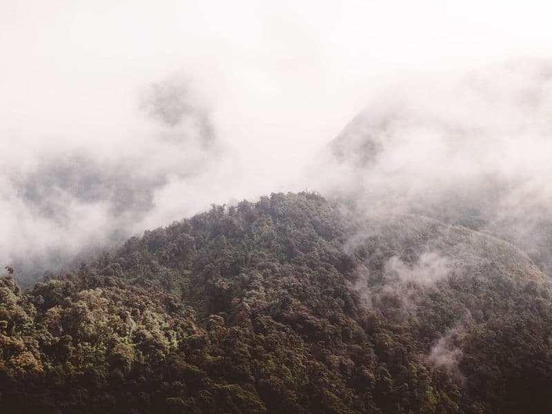
Annapurna Conservation Area
Ghorepani Poon Hill Trek
The classic short trek: rhododendron forest and a sunrise panorama.
- Duration
- 4 days
- Max altitude
- 3,210 m
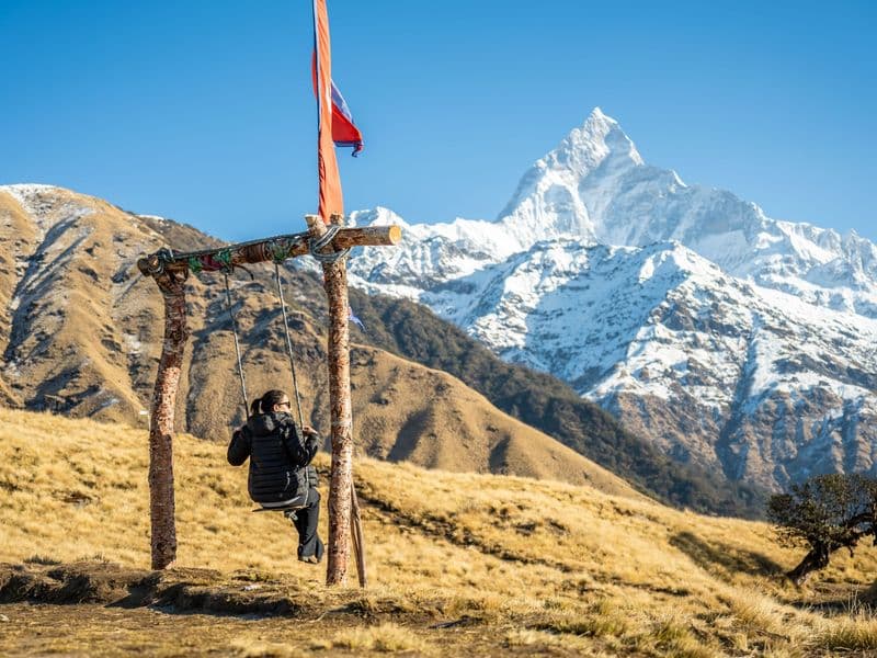
Annapurna Conservation Area
Mardi Himal Trek
A quiet ridge walk to a high viewpoint beneath Machhapuchhre.
- Duration
- 5 days
- Max altitude
- 4,500 m
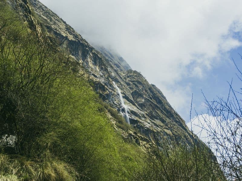
Annapurna Conservation Area
Annapurna Base Camp Trek
Into the Annapurna Sanctuary, an amphitheatre of 7,000 m peaks.
- Duration
- 10 days
- Max altitude
- 4,130 m