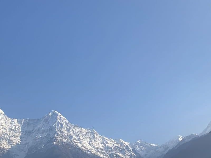
Annapurna Circuit
Subtropical valleys to the Thorong La pass and the desert of Mustang.
- Duration
- 14 days
- Max altitude
- 5,416 m
- Distance
- 160 km
- Best season
- October–November, March–April
- Starts
- Dharapani or Chame
- Ends
- Jomsom
Overview
The Circuit follows the Marsyangdi river up through Manang, crosses the 5,416 m Thorong La and descends to Muktinath and the Kali Gandaki valley. Few treks pass through such varied landscapes, from rice terraces to Tibetan-style villages to high desert.
Road building has shortened the classic route; most trekkers now start around Dharapani or Chame and finish at Jomsom, flying or driving back to Pokhara.
- Manang valley
- Tilicho Lake side trip
- Thorong La pass
- Muktinath
- Kali Gandaki gorge
Plan this trek
Day-by-day itinerary
Sleeping altitude goes from 1,860 m on day 1 to a high of 4,450 m on day 7, ending at 2,720 m on day 10. Day 5 sleeps at the same altitude as the night before (acclimatisation).
- 1
Drive Pokhara/Besisahar to Dharapani
Long jeep ride up the Marsyangdi.
Sleep at 1,860 m
- 2
Dharapani to Chame
Through pine forest with views of Manaslu and Annapurna II.
Sleep at 2,670 m
- 3
Chame to Upper Pisang
Past the sweeping Paungda Danda rock face.
Sleep at 3,300 m
- 4
Upper Pisang to Manang via Ghyaru and Ngawal
The high route: harder, with the best views on the Circuit.
Sleep at 3,540 m
- 5
Acclimatisation day in Manang
Hike to Ice Lake or the Gangapurna viewpoint.
Sleep at 3,540 m
- 6
Manang to Yak Kharka
Short, steady ascent out of the valley.
Sleep at 4,050 m
- 7
Yak Kharka to Thorong Phedi
Cross the landslide zone to the base of the pass.
Sleep at 4,450 m
- 8
Thorong La to Muktinath
Pre-dawn start, pass by mid-morning, long descent to Muktinath.
Sleep at 3,800 m
- 9
Muktinath to Kagbeni
Easy descent into Mustang’s desert landscape.
Sleep at 2,800 m
- 10
Kagbeni to Jomsom
Walk the Kali Gandaki riverbed before the afternoon wind.
Sleep at 2,720 m
- 11
Fly or drive to Pokhara
Morning flight is weather-dependent.
- 12
Buffer day
For weather or an extra Manang rest day.
- 13
Buffer day
Optional Tilicho Lake extension uses two days.
- 14
Buffer day
Permits
Permit rules and fees change. We link the official source for each and show when it was last checked.
Annapurna Conservation Area Permit (ACAP)
NPR 3,000 for foreign nationals (mid-2026). Buy in Kathmandu or Pokhara before starting; checked at several points.
TIMS card
NPR 2,000 for foreign nationals (mid-2026), issued by the Nepal Tourism Board or a registered agency.
Safety and altitude
Altitude sickness is the main risk on any trek above 2,500 m. Ascend slowly, sleep no more than 300–500 m higher each night above 3,000 m, drink plenty, and descend immediately if symptoms worsen. Headache, nausea and loss of appetite are early warnings; confusion or breathlessness at rest are emergencies.
Carry travel insurance that explicitly covers trekking to your maximum altitude and helicopter evacuation. Weather can close trails and airports for days; keep buffer days and cash.
Packing list
Essentials are marked; the rest is optional.
- Broken-in trekking boots (essential)
- Four-season sleeping bag (lodge blankets are limited) (essential)
- Down jacket (essential)
- Waterproof shell (essential)
- Sun hat, sunglasses, high-SPF sunscreen (essential)
- Water purification tablets or filter (essential)
- Head torch (essential)
- Basic first-aid kit incl. blister care (essential)
- Trekking poles (optional)
- Power bank (optional)
Frequently asked questions
From travellers
Travellers who trekked Annapurna Circuit
First-hand accounts from people who walked it recently. Read one, then plan a trip like it.
 Travel storyDemo story
Traveller story · Daniel Brooks · 28 Nov 2025
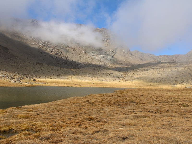
Over Thorong La: the Annapurna Circuit, day by day
A long loop through changing landscapes, from green valleys to the high desert of Mustang, built around one big day: crossing the 5,416-metre Thorong La pass.
- Visited
- October 2025
- Places
- Annapurna Region · Mustang
More treks
Other treks in Annapurna Region
Annapurna Conservation Area
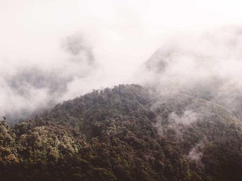
Ghorepani Poon Hill Trek
The classic short trek: rhododendron forest and a sunrise panorama.
- Duration
- 4 days
- Max altitude
- 3,210 m
Annapurna Conservation Area
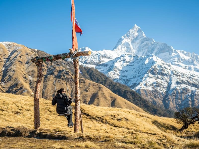
Mardi Himal Trek
A quiet ridge walk to a high viewpoint beneath Machhapuchhre.
- Duration
- 5 days
- Max altitude
- 4,500 m
Annapurna Conservation Area
Annapurna Base Camp Trek
Into the Annapurna Sanctuary, an amphitheatre of 7,000 m peaks.
- Duration
- 10 days
- Max altitude
- 4,130 m